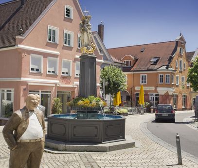
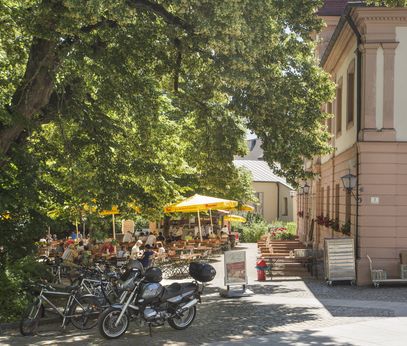
From Source to Mouth: Cycling Along the Mindel.
The Mindeltal Cycle Path follows the Mindel from its source in Mindelheim to its mouth at the Danube in Offingen. The 90-kilometer route can be split into two day trips or smaller sections. The path takes you through a diverse landscape, mostly along natural trails, with some steeper climbs in the source area. The cycle path is suitable for families starting from Mindelheim. There are opportunities to combine with other cycle paths along the Mindeltal Cycle Path in Offingen (Danube Cycle Path), in Jettingen-Scheppach (Glöttal Cycle Path), and in Dirlewang (Kneipp Cycle Path).