Find accomodation now
You found {{ resultCount }} results!
no results
difficulty
easy
distance
73,1 km
duration
4 hours 41 minutes
total ascend
116 m
elevation max
715 m
elevation min
435 m
panorama
80/100
condition
60/100
| difficulty | easy |
|---|---|
| distance | 73,1 km |
| duration | 4 hours 41 minutes |
| total ascend | 116 m |
| elevation max | 715 m |
| elevation min | 435 m |
| panorama | 80/100 |
| condition | 60/100 |
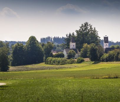
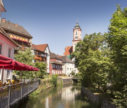

The Kammeltal Cycle Path: Between Allgäu and the Danube.
The Kammeltal Cycle Path is part of the "Bavarian Network for Cyclists" and connects the Allgäu with the Danube. The 60-kilometer route runs from Erisried to Offingen. It is suitable for a day trip but can also be split into two stages, for example with an overnight stay in the Swabian town of Krumbach. The roads and paths along the Kammeltal Cycle Path are mostly flat within the Günzburg district.
Current
Weekly overview

